|
             
SELF
GUIDED SCENIC VISTAS OF HUGO
Our community is blessed with many
wonderful resources, including scenic vistas. There are lots of these safe and comfortable
scenic view points to discover picturesque Hugo from the air. Well, from the viewpoints
looking down, it feels like being in the air, sorta. This self guide is an introduction to
six of them.
-
- Hugo’s Scenic Grave Creek Hills Trail
Within The Copper Queen Old Growth Grove
-
- Field Trips
-
- • April 2009
- • May 2009
- • July 24,
2011
- • October 15, 2013
- • October
25, 2013 (large file with photos will take a little time to open)
- • October 29, 2013
-
- The Grave Creek Hills Trail (GCHT) is within the
Copper Queen Old Growth Grove. It is approximately one-half mile, in and out, along a
developed quad trail. An all-terrain vehicle is also known as a quad, quad bike,
three-wheeler, or four-wheeler. Quads are normally 50" wide and less.
-
- The west access site over public lands is recommended
to reach the GCHT. It is located in a 240-acre BLM-administered parcel of public lands
(Tax Lot 100, Section 21, T.34S., R.6W.) located along the ridge of Grave Creek Hills
(Maps 1 & 2). The BLM allocated the parcel to Matrix - Southern Forest Management
Area, which means its primary management purpose is timber production, but it is managed
as a Late-Successional Reserve because it is also designated as a Northern Spotted Owl
core area.
-
- Visitors are able to drive to the west edge of the
GCHT along the BLM’s Quartz Creek logging transportation system (Map 3). The 60-acre
Copper Queen Old Growth Grove is in the southeast area of the 240-acre parcel (Maps 2
&3). The northern boundary of the grove is basically the ridge line of Grave Creek
Hills.
- The GCHT is approximately 1.5 miles north of the Hugo
Hitching Post Store as the crow flies and 11 plus miles driving to the west trail access
site. It is part of the Bummer Creek drainage which drains into Quartz Creek. The
trail’s elevation ranges from 2,119' to 2,530'. The terrain is rugged and extremely
steep on both sides of the ridge of Grave Creek Hills. The trail can be very steep, but is
not considered technical. Beware! Technical is subjective (see disclaimer/outdoor risk
warnings at http://www.hugoneighborhood.org/disclaim.htm).
-
- The 2,119' west access of the trail starts out steep
and remains relatively steep for its first quarter mile when traveling east. There is an
elevation difference of approximately 400' between the start of the hike and the GCHT
Knob. The second half of the trail continuing to travel east after the Knob ranges from
2,500' to 2,600', and is the easiest with only a 100' difference in elevation. Its entire
course is used by quads which created a sense of a maintained trail, and except for the
steepness, a good hiking trail. If you continue east out of the grove you will find
yourself in a clear cut with good views.
-
- Mike Walker feels the trail experience is outstanding.
"It was like walking to Rainie Falls on the Rogue River, once you experienced it
you would want to share it with others." Douglas-fir is dominant, interspersed
with dozens of big dead Black Oak boles on the forest floor and many still standing. At
one time they thrived with the Douglas-fir, but were now soon to disappear. A few Sugar
Pine and Ponderosa Pine are present, along with a few large vigorous Madrone. There are
several large dead standing fir snags and many large decaying fir logs on the ground.
-
- Some measurements were made and the tree sizes ranged
from one inch dbh (diameter at breast-height) to a large 17' plus dbh Douglas-fir. There
were a few large, aged Madrones, including one at 12' 1" circumference. Other trees
measured were Douglas Fir (15' 6", 15' and 11' dbh) which ranged between seven or
eight trees per acre to fourteen per acre along a northerly and more protected dip in the
ridge. Two other Doug Firs were measured at 15' 7", and 17' 2" dbh respectively
(the biggest one was right at the ridge line). Most of the Douglas fir trees were 1' - 2'
feet dbh.
-
- Deep forest birds seen or heard were Mt. Quail, Hermit
Warbler, and Pileated Woodpecker. Edge species are Lesser Goldfinch, Oregon Junco,
Flicker, Hairy WP., Nashville Wblr., MacGillivray Wblr., Red Br., Nuthatch, Blk., Capped
Chicadee, W. Tanager, Scrub Jay, Mourning Dove, Ravens, a Turkey Vulture, Hutton’s
Vireo, N. Flicker, and Ruffed Grouse.
-
- During a discussion at the end of one hike a half
dozen or so members of the group had mixed feeling about whether they were viewing an old
growth stand over 200 years old or a mature stand approximately age 80 to 200. On another
trip to this relatively untouched ridge-top area, one member of the group felt the grove
had an age of from 300 - 500 years. His rationale for the age estimate was the conifer mix
of Doug Fir, Ponderosa, White Pine, Sugar Pine (one SP measured 12' 2" circumference)
and other conifers; combined with other tree species; and one area with fourteen old and
large looking conifers within 125' of each other; the fairly complete canopy; the
relatively complex biological diversity present; and the dips, mounds and pit soil shapes
present throughout the grove. It seemed there are many definitions of old growth.
-
- Tables
-
Table 1. Traversing the Grave Creek Hills Trail:
West to East
- Table 2. Average Grades for Grave Creek Hills Trail
Station Segments
-
- Maps
-
- Map 1. 2013
240-Acre BLM Forest Parcel: Tax Lot 100, Section 21, T.34S. R.6W., W.M.
- Map 2.
Grave Creek Hills Ridge Line & Copper Queen Grove
- Map 3. BLM Road System
(based on map - Northern Hugo Viewpoints: Quartz Creek)
- Map
4. Grave Creek Hills Trail In Section 21
-
- Have fun, this is a great trip! Take care of the
land; this public land is ours.
-
- The information included in the individual vista web
pages includes a general description on how to get to them, vehicle travel miles, vehicle
travel time, hiking information as applicable, some general information about the trip,
and a map.
Please read the disclaimer / warning!!
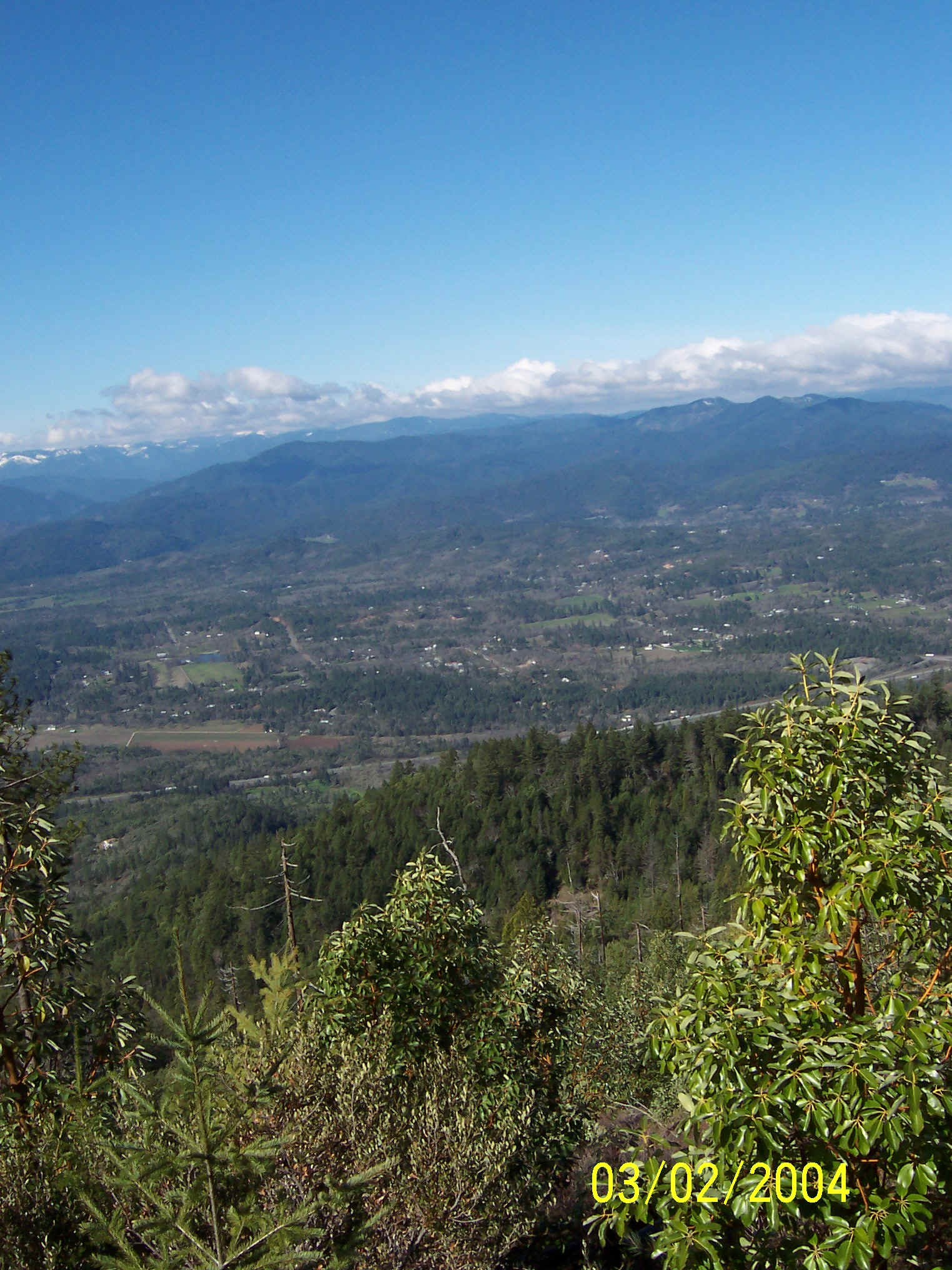
Picture taken from the North
Walker Mountain Landing on March 2, 2004
Back to Top
|